Reduce loss. Make smart decisions
Advanced wildfire risk data for insurance, re-insurance, infrastructure, utilities and catastrophic modelling
Advanced wildfire risk data for insurance, re-insurance, infrastructure, utilities and catastrophic modelling
FRMGs wildfire data provides insurance, catastrophic modelling companies and engineering organizations with high quality fire risk maps and data. We leverage satellite, Lidar and remote sensing tools with unique proprietary data to deliver high quality solutions. We identify high-risk areas to show loss potential and source of hazards with consistent, up-to-date information to support your data needs.
FRMG leverages 12 years of remote sensing, GIS, forestry and wildfire management expertise into high quality data designed to support the needs of insurance, engineering and catastrophic modelling companies.
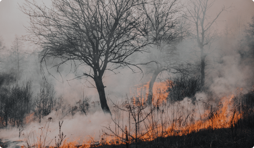
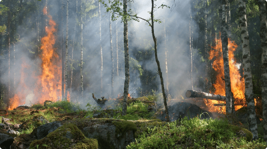
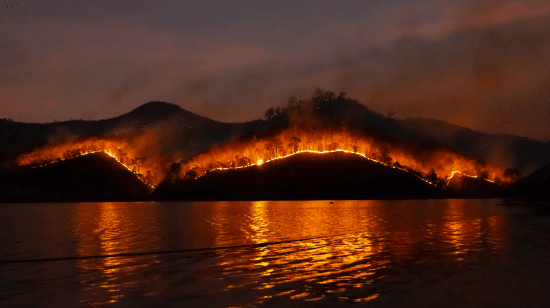
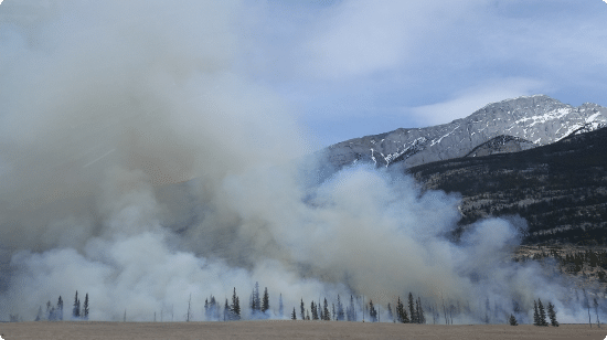
Managing wildfire risk is increasingly important for many insurers. Catastrophic wildfires are increasing in scope, frequency, and severity. Long-term projections dictate that this trend will continue to impact our communities. Data is key to understanding how to minimize and estimate potential damages from wildfires. FRMG’s wildfire data is precise; providing 10-20 metre resolution that enables detailed risk assessment resulting in improved data for insurance, engineering, and utilities infrastructure.
FRMGs wildfire data arms insurance companies with the ability to improve underwriting profit and reduce loss ratio. Our wildfire data provides peace of mind to achieve pricing accuracy to remain competitive in todays markets.